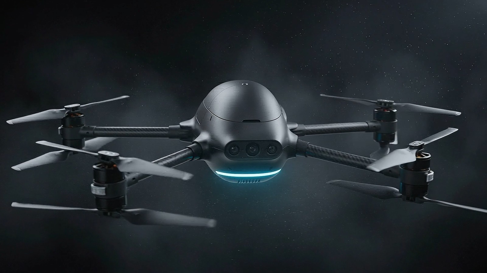
Land exposed to risk from the fighting — roughly a fifth of the country. It does not mean the whole area is a confirmed minefield; survey work is steadily returning land to use. Even so, this is the largest contamination in modern European history.
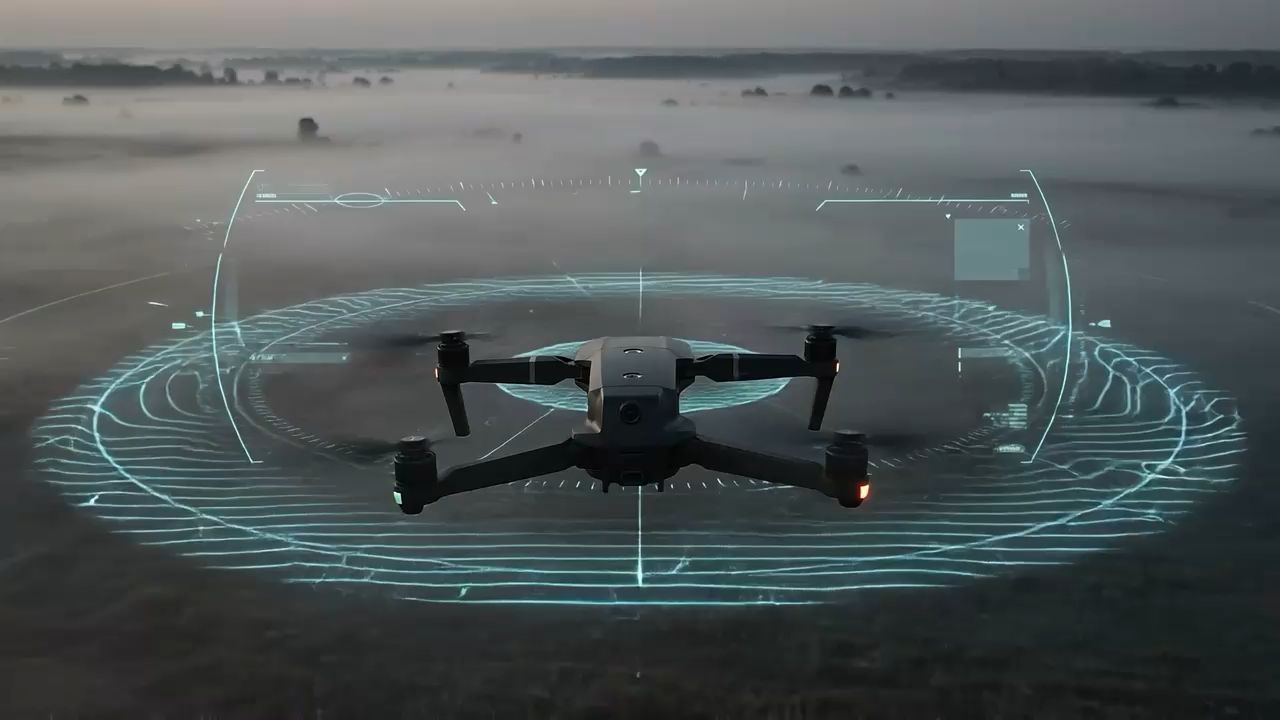
Autonomous landmine and UXO detection
Technology that saves lives
Autonomous drones carrying a magnetometer survey contaminated land from a low pass and mark the spots that need checking — before anyone has to walk in. Many times faster, at a fraction of the cost, and with zero risk to the operator.
The situation today
A quiet war
that never ended
Landmines and unexploded ordnance stay in the ground for decades after the shooting stops. In 2024 they caused 6,279 casualties — the highest figure in four years. Almost half of the civilian victims were children. Not soldiers. Families.
The victims are civilians
Civilians made up the overwhelming majority of identified landmine casualties in 2024 — farmers going back to their fields, children walking to school, mothers fetching water. For them the danger does not end where the shooting stops.
Children among the casualties
Children accounted for 46% of the civilian casualties whose age was recorded — 1,701 children in a single year. They are among the most vulnerable, because this is not a danger they can recognize in time.
A pace that cannot keep up
In all of 2024 the entire world released 1,114 km² of land. Ukraine alone has 132,076 km² exposed to risk — even if every clearance capability in the world were sent there, it would take more than a century. And the people who do this heroic work have been in short supply for years.
What one deminer covers
A single deminer clears roughly 20 to 50 square meters in a working day, depending on the ground and how much scrap metal is in the soil. Every step carries risk. Across tens of thousands of square kilometers, that pace simply cannot keep up.
Manual demining is heroic work. But at the scale of today's contamination, traditional methods cannot keep up. We need technology that clears land at a pace that matches the scale of the problem — years, not centuries.
The global picture
This is not
one country's problem
Landmine contamination is a global problem, and it has grown sharply worse over the past three years. According to Landmine Monitor 2025, 57 countries and areas are contaminated today, seven of them classified as massively contaminated. These are four of the hardest hit.
Territory affected by the Nagorno-Karabakh conflict. Clearing it will take decades.
More than four decades after the conflict, contamination is still a serious problem. Even with record areas released, the risk has not gone away.
In 2024 Myanmar recorded the highest number of landmine casualties of any country in the world. The escalating conflict keeps pushing the contaminated area wider.
Our solution
Eyes in the sky
Safety on the ground
ANDROMEDA Technologies deploys autonomous sensor-equipped drones that map contaminated land from the air and turn it into precise threat maps — without a single person setting foot in the danger zone. The goal is not to replace deminers, but to sharply narrow the ground they have to cover on foot. Safer. Faster. Cheaper.
Illustrative footage
The drone goes
where people can't
The operator stays outside the danger zone. The drone flies a planned route and the sensors cover the whole area — meter by meter, without a single step on the ground.
You don't guess the ground
You map it
The drone flies low over the ground along parallel lines — this method is normally flown a few meters above the surface with line spacing of about one meter. The survey produces a map of magnetic anomalies: the places where the sensor picked up a deviation from the surrounding field, each with a precise RTK position. Whether an anomaly is ordnance or a piece of scrap metal is decided by verification on the ground. The visualization above is illustrative, not a recording of a real survey.
Flight
The drone flies the marked area along a planned route. Nobody sets foot on the ground.
Measurement
The magnetometer records deviations in the magnetic field, each with a precise position.
Anomaly map
The output is a map of the places that need checking — the basis for the clearance team's work.
Define the area
The operator marks the target zone on a tablet map. The whole planning phase happens at a safe distance from the contaminated ground.
Autonomous flight
The drone flies the programmed route on its own. The sensors collect data across the whole area with no pilot input.
Data processing
The software filters out interference, marks the deviations from the surrounding magnetic field and gives each one a precise RTK position.
A map for the clearance team
The output is a clear map of the spots that need checking. The team knows where to go first and which part of the area it can leave for later.
Detecting magnetic anomalies
A magnetometer (approx. 300 g) reads the Earth's magnetic field during the flight. Ferrous objects in the ground distort that field measurably, and those deviations are what the system records. That covers ordnance and mines with metal casings; a magnetometer is practically blind to plastic-cased mines — which is exactly why ground radar is the next step. A working prototype, proven in the field.
Ground radar (GPR)
Ground radar sends short radar pulses into the soil. They travel below the surface, reflect off objects buried there and come back — and those reflections can be assembled into a picture of what lies underground. Unlike the magnetometer it also picks up non-metallic threats, including plastic mines. Planned for the second generation (v2).
Threat classification
A software layer combines the magnetometer and radar data. It separates real threats from natural anomalies such as rocks and roots. The output is a clear map with the risk areas plainly marked.
Technology platform
Built on a best-in-class
industrial platform
We don't rebuild what already exists at world-class quality. We build on the industrially proven DJI Matrice UAV platform and integrate our own sensor system and software on top of it — turning it into a purpose-built demining tool.
Platform specifications per the manufacturer. Flight time and range drop accordingly with our sensor module mounted — we are measuring the real figures on the prototype.
UAV magnetometer
An atomic magnetometer (approx. 300 g) adapted for airborne use. It reliably picks up ferrous objects — ordnance and mines with metal casings. A proven sensor from the first-generation v1 prototype, with confirmed field results.
Ground radar (GPR)
A 200–800 MHz ground radar, in development. It sends radar pulses into the soil and uses their reflections to show what is under the surface — including objects that are not metallic. Its compact form factor allows integration directly onto the drone. Second generation (v2).
Thermal and multispectral cameras
These are two different sensors doing two different jobs. The thermal camera looks for the temperature difference between the ground surface and an object beneath it — a buried item heats and cools differently than the soil around it. The multispectral camera looks for something else: vegetation stress above disturbed soil, visible in bands outside ordinary light. Both are planned for the third generation (v3).
Real-time mapping
Every reading is georeferenced from RTK data to within a few centimeters. Clearance teams receive color-prioritized maps that mark the risk points directly.
Why now
The right technology
at the right moment
Three things have come together for the first time: capable UAV platforms, affordable precision sensors, and an urgent need for clearance on an enormous scale. ANDROMEDA Technologies was founded exactly at that intersection.
The UAV platform is finally ready
Flight systems in the DJI Matrice 400 class now deliver payload, endurance and precision that were considered impossible five years ago. What was on paper yesterday is in the field today. On a platform like that we don't have to invent anything — we can focus entirely on what makes the difference: sensors and software.
The world is funding mine action at record levels — over a billion dollars a year
In 2023, global mine action funding passed one billion dollars for the first time ever, and in 2024 it rose to $1.07 billion. Ukraine has been the largest recipient two years running. There is a real market here — growing, funded, and actively looking for something faster and cheaper.
We are building technology meant to change how clearance is done
The future of clearance will not rest on putting more people in the field, but on better data and better decisions. We are building technology that identifies the risk points before anyone walks into them. The first prototype is already being tested in the field — unlike most startups that begin with a deck, we are beginning with results.
Post-war reconstruction is the work of the next decade
Ukraine, Syria, Myanmar, Yemen, Azerbaijan — every one of these countries faces decades of work bringing people back to their homes. Every square kilometer cleared a year earlier means dozens of lives saved and a great many families back in their homes.
Market and impact
A market with
no precedent
Growing global funding, massive contamination and a shortage of clearance capacity add up to a market opportunity without historical precedent. And we are here at the start of it.
Global mine action funding — the highest figure on record. It passed the one-billion mark for the first time in 2023.
According to UNMAS, more than 100 million people worldwide live with the risk of mines, unexploded ordnance and improvised explosive devices.
Affected countries funded clearance from their own budgets to the tune of $306 million — over 30% of the global total. This is not only donor money.
That many States Parties have an active clearance deadline under the Ottawa Convention. This is demand backed by a legal obligation, not discretionary spending.
These groups describe our target segment. Organizations such as HALO Trust, MAG and NPA are examples of the type of customer we are building for, not existing partners.
Development roadmap
From working prototype
to commercial deployment
This is not a concept. The foundation is nearly done — the v1 prototype is in its final development and testing phase. The next steps are clearly defined and costed. Every phase has a measurable deliverable and a budget.
First generation (v1)
- UAV magnetometer integrated and calibrated
- Field testing on controlled sites
- Results visualized
- ANDROMEDA Technologies s.r.o. incorporated
- First presentations to partners and investors
Second and third generation
- Ground radar integration
- Thermal and multispectral camera
- Software fusion of the sensor data
- First field testing with partners
- First paid pilot deployment
Commercial system
- Autonomous software classification of real threats
- Coordinated multi-drone operation
- Commercial launch of the service
- Expansion into international markets
For investors
A deep-tech company
with humanitarian impact
We are looking for partners who hold two things at once: that this is a real business in a market worth billions — and a project where every week cut from the clearance timeline saves dozens of lives.
Where the opportunity is
The global mine action market has passed one billion dollars a year. Most of that money still goes into manual methods that cannot keep pace with the contamination on the ground. Any tool that demonstrably makes the process faster and cheaper finds a buyer immediately.
ANDROMEDA Technologies is building exactly that tool. We are not inventing a new airframe or a new sensor — we are integrating what already works into a system that is not yet used commercially. The v1 prototype is nearly finished. We are raising capital to complete development and reach first commercial deployment.
The technical hypothesis is proven
The first prototype already detects — practical proof that the concept works in the field. From here we are improving something that works, not testing whether it can work at all.
A growing billion-dollar market
Global mine action funding reached $1.07 billion in 2024. Ukraine alone needs an estimated $28 billion for explosive hazard and debris clearance, according to the World Bank assessment (RDNA5, February 2026).
Multiple funding sources
Alongside private investors we are actively pursuing national grants, international programs (Horizon Europe, the European Defence Fund) and strategic partnerships with humanitarian demining organizations.
Dual-use potential
The technology applies to humanitarian demining, archaeological survey, underground infrastructure detection and defense. One system — several markets and revenue streams.
A Slovak cost base
Developing in Slovakia means R&D costs far below those of Western European competitors, with engineering talent of comparable quality. Capital goes further here.
Founders
Two disciplines
One goal
ANDROMEDA Technologies was founded at the intersection of two fields that are equally essential to building a technology company — technical development and strategic leadership. We combine engineering and physics with IT, artificial intelligence, business development, and the ability to turn advanced technology into a solution with real deployment potential.
Nikolas Belko
Brings extensive experience in IT, web technologies, artificial intelligence and digital business. At ANDROMEDA Technologies he leads the company's strategic direction, business development, fundraising, partnerships, and the translation of technical capability into practical, commercially viable applications.
Martin Švéda
Studies a technically focused programme at Brno University of Technology and specializes in physics, engineering development, sensor technology and UAV systems. He designed and built the working UAV magnetometer prototype, and leads technical development, system architecture, sensor integration, testing and the continued development of the solution.
Get in touch
We have the prototype and the plan
We need you
We are looking for a partner to complete and validate the v1 prototype and to fund the second-generation (v2) integration. In a meeting we will walk you through the field test results, the milestone plan, the budget and a proposed pilot. We will demonstrate the prototype in person.